Tuesday 7th July
Well started the day well – up early for a call with Imran then to gym with Rudy at 8 am. So far so good. Then my planned adventure to cycle the Downs Link – billed as a traffic free cycle path along a disused Railway from Guildford to Shoreham by Sea.
So 1000 train to Guildford, prior to, I bought a Starbucks from the new kiosk right by the platforms (sorry Carla). 32 mins to Guildford seems crazy when it takes that long to Kingston – first neat miss in loo .. right airpod fell out and was on it’s way into the abyss but I caught it with my lightning reactions … phew.
I thought I had loaded a gpx file to my eBike planner app … well, I had but I discovered it is a pretty crap way to follow a cycle route. Moreover the route plan didn’t start from Guildford so I had to try (and fail) to navigate my way to the route start. Went off course towards Stoke Park then when I re looked that was miles from route so had to backtrack 30 mins to St Martha’s Hill Car Park where the route started except … it was a bridleway and very sandy and for a long way – was torture and impossible to stay on the gpx route – eventually made it to a better but narrow path – part walking bike (after literally, deer like cutting through the fawns thinking of ticks). Eventually found a narrow less sandy path and some riders came the other way on eBikes and I heard one of them say ‘this is a bit bloody tricky’- roots and stones and small unexpected drops everywhere – continued part walking part riding and a couple of hikers passed me and were surprised I had come that way but they gave me a good steer as to how to find the disused railway track route I had been promised by cycle uk – bloody route planers / gpx routes are as shite as google maps. Also, the second you leave London or are outside of any major town the mobile signal drops so you cannot way find .. what a country !
Eventually following the hikers directions past lovely vineyards I was on road again on my way to Bramley and Wonersh (disused) station and – glory be – the disused railway way route. I’d been cycling / walking for an hour and had barely left Guildford ffs.


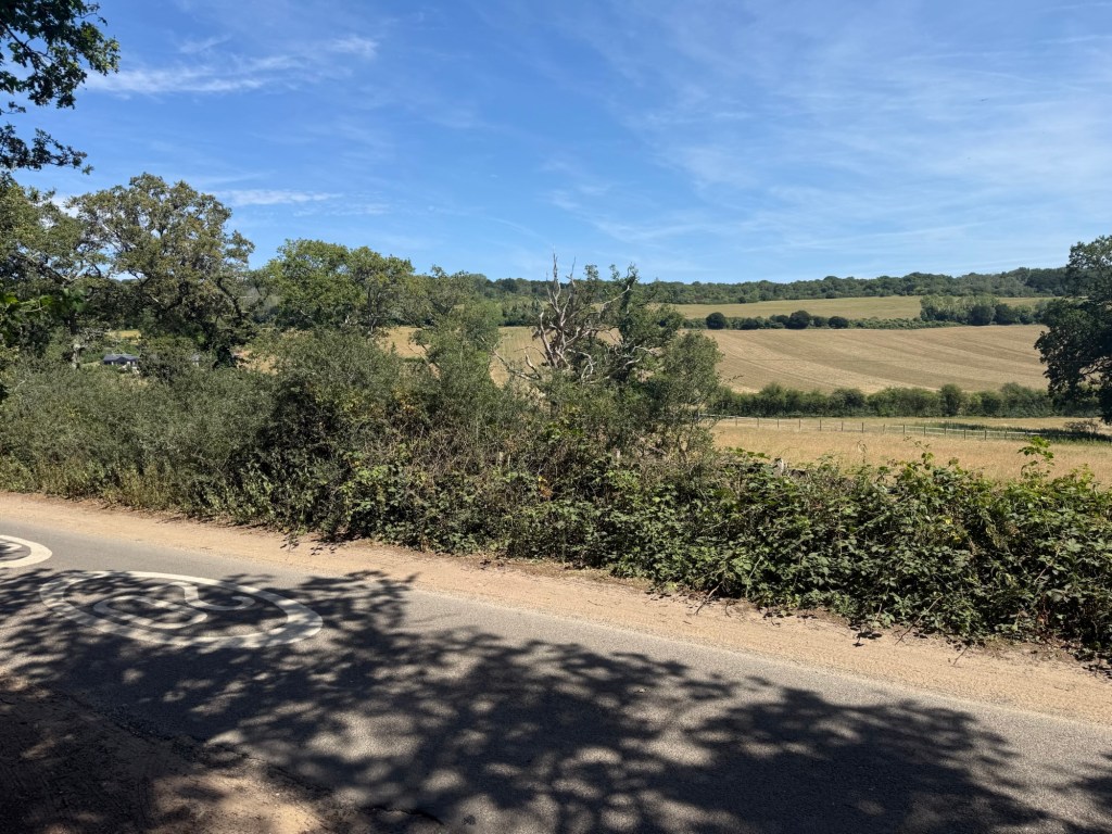
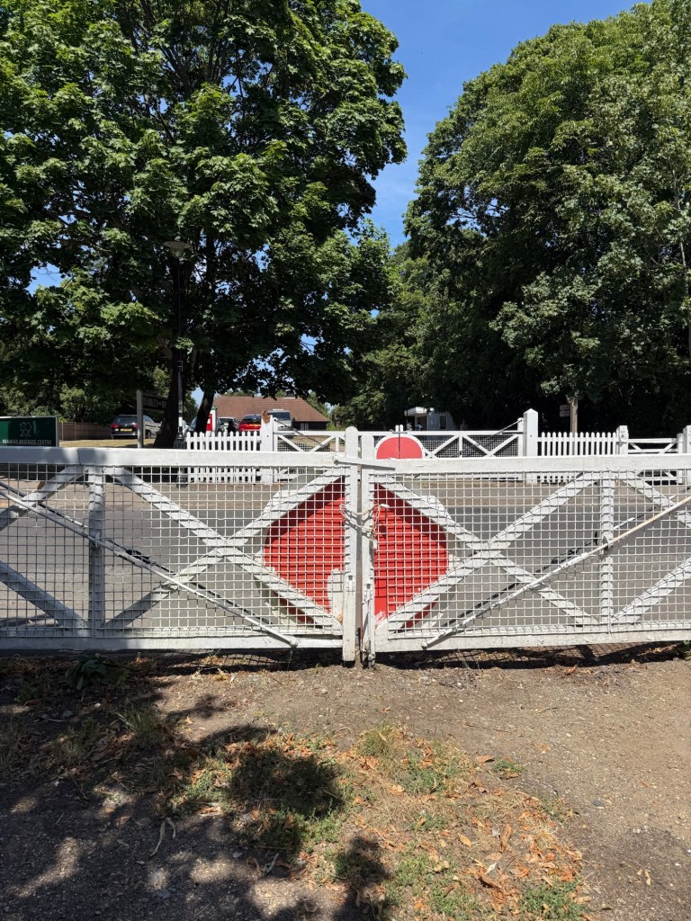
Once I found the trail I cracked on – a nice ride under the canopy and along the old railway cutting. At Cranleigh I was a tad confused re: the way – as it was broken by a road and there was no signage but after a wrong turn thanks to google I got back on the way and carried on. Google was telling me it was 2h 50 mins still after 90 mins of cycling and I had set the flow app to arrive at Shoreham with 20% charge so assist on the eBike wasn’t the best and it was hard work. Then the trail ended – literally all I did was cycle under an old bridge then massive undergrowth so ended up on road – middle of nowhere – so set google when signal appeared to Rudgwick and had been cycling nearly 3h by now with two to go. There was a co-op so I had a meal deal for £5.90 (I had lost the planned ‘fish and chips’ at Shoreham) – very reasonable price though – and decided to head to Horsham and abandon rest of way. I did get back on the old railway at Rudgwick and there was definitely the cutting coming from the other direction so goodness knows why I couldn’t find it – I cycled for another 30 mins before going on to the road to Horsham and home. I was knackered. Will have to attempt this again but next time with much better route finding / planning.


Leave a comment